Your technology can be precise.
Your project can still be wrong.
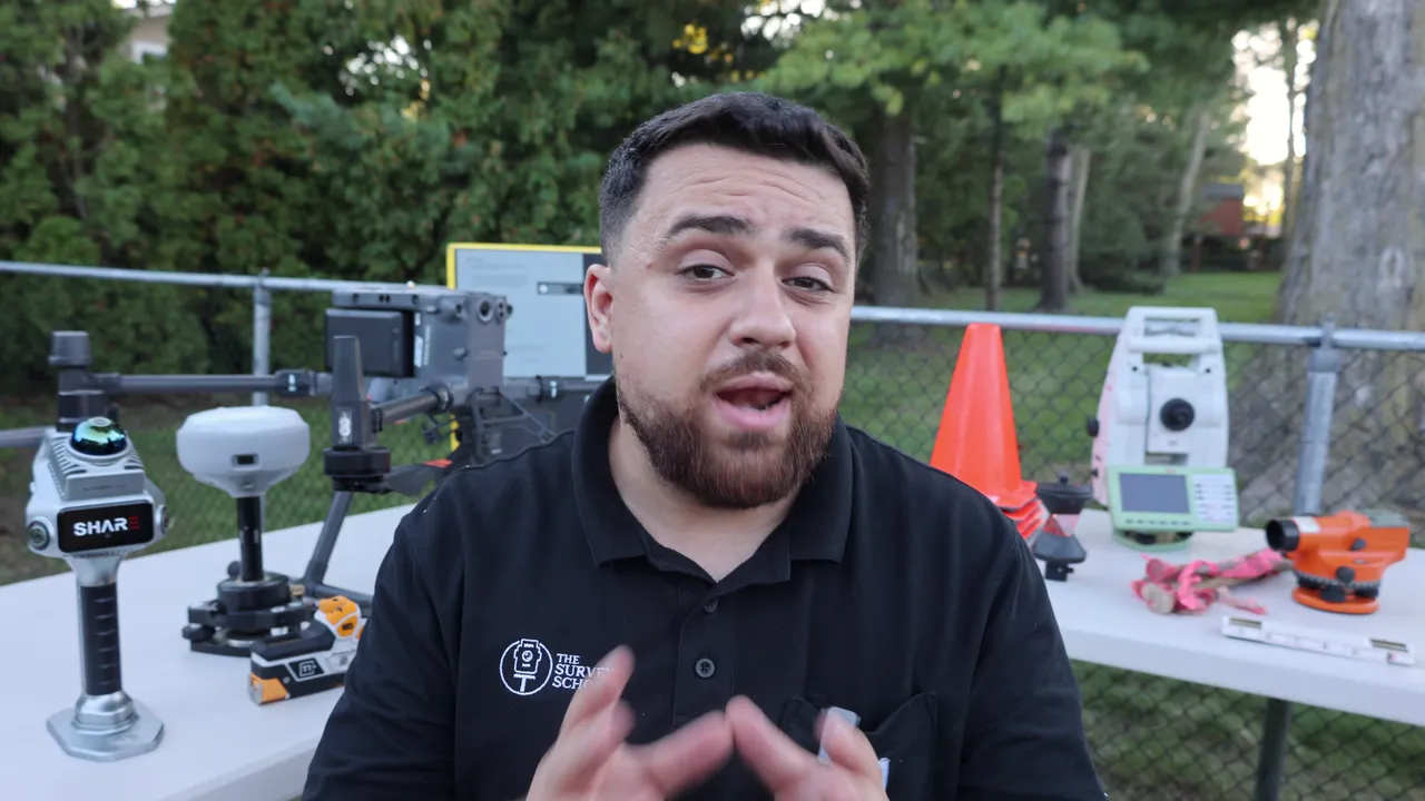
The Survey School teaches drone pilots, scanning and mapping technicians, and construction teams to collect high-accuracy data that surveyors and engineers can trust. You don't need to be a surveyor to join, and surveyors are members too.
Member results in the video are their own and are not typical.
If you already collect data in the field, you're halfway there.
You might have a Part 107 and an RTK drone, a scanner, a GNSS receiver, or years on a field crew. Maybe you were handed the tools and told to figure it out. The data looks right on screen, but you're not sure it would hold up if a surveyor or engineer checked it.
You want to collect it the same way every time, know how accurate it is, and hand it over knowing it holds up.
Two things are usually missing. One is the survey side: control, coordinate systems and accuracy checks. The other is someone who has done the work, to ask when the numbers don't line up. The Survey School gives you both.
You've probably tried some of this.
So have I. I'm Rami Tamimi, a licensed surveyor and the founder of The Survey School.
Better gear
A better receiver or drone is a real upgrade, and you'll keep using it. At my first job I was handed an RTK drone with no training. I tried different receivers, and my data was still several meters off. I had no idea why.
Free videos and trial and error
YouTube, software tutorials and trial and error teach you a lot. It's why I put so much on YouTube for free. None of it can look at your data and tell you why it's off.
A drone mapping course
A good one teaches you to fly and process, and you'll use that every day. Control, coordinate systems and accuracy checks usually get much less time, and they're the first thing a surveyor or engineer looks at.
The only reason I didn't walk away from this industry was my dad, who took me onto construction sites and showed me the proper way to collect data, step by step. A lot of people in this work never have someone like that. We built The Survey School so they would.
Learn to collect data surveyors trust.
It's a 12-month program with a new course every 30 days, built on three things: accurate data, deliverables surveyors can use, and mentorship.
Accurate data
Know your data is right before it leaves your hands, and fix it when it isn't.
You learn to diagnose your data: check it against control and checkpoints and tell good from bad by the numbers. Then you learn to adjust: fix the field workflow so the error stops, and correct what you can at the desk.
- Courses in survey fundamentals, GPS/GNSS and least squares adjustment
- Pix4Dmatic Pro, GEODNET corrections and an Emlid GNSS receiver you keep, unlocked as you reach higher levels in the community
Deliverables surveyors can use
Hand over work a surveyor or engineer can check and rely on.
You learn to deliver: turn checked data into control reports, surfaces, volumes and CAD linework, with the accuracy written down so they can see how you got it.
- Courses in CAD drafting and GIS for surveyors
- Hands-on workshops and field days on live job sites
Mentorship
When the numbers don't add up, you have people to ask who have been there.
We once visited a member whose data disagreed with the engineer's by 970 feet. We went through his work together, and it was right. The job turned out to be on a modified state plane, and he hadn't been given that information.
- Licensed, practicing surveyors answering questions every day
- A weekly live lecture and Q&A where you bring your own data
- Stay a year and we fly you to Geo Week, with your lodging and a full conference pass covered



Reviews from Members
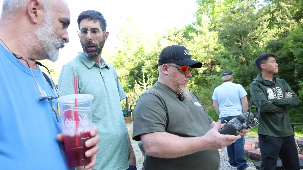
Mentorship from people who lead the work.
When you're new, you have licensed surveyors and experienced members to learn from. Once you've done the work yourself, you help the next person.
Meet your instructors.
All three are practicing professionals, and two are licensed surveyors. They show you what they look for in work like yours and how to get it right the first time.
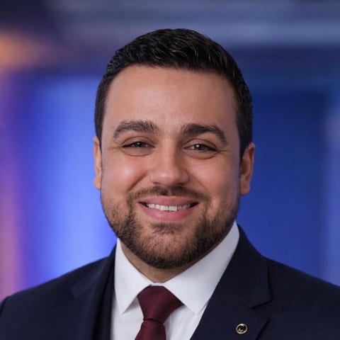
Rami Tamimi, P.S.
Professional Surveyor · PhD Candidate, Geodetic Engineering, OSU · Founder
Over a decade of land development experience, plus three years tuning sensor alignment for self-driving systems. Teaches drones, LiDAR and photogrammetry, and the survey fundamentals that make them accurate.
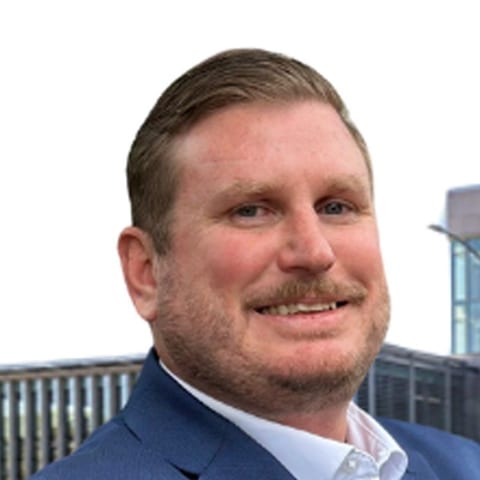
Joe Nelson, PLS
Licensed Professional Land Surveyor
Project Manager at BKF Engineers with 14 years of professional surveying. Teaches how survey work gets done on real projects: boundary, topo, ALTA, control networks, and final maps ready for stamp.

Dr. Joseph Kerski, PhD GISP
PhD Geography · GISP · Author of 12 books · Former Esri Education Manager
Geographer and GIS educator with three degrees in geography and 22 years across NOAA, Census, and USGS. Teaches GIS and spatial analysis.
Questions people ask before they join
You don't have to figure it out alone.
Press Learn More, leave your name, email and phone, and tell us where you are. We'll take you to our page on Skool, or to a short questionnaire if you have client work going out. Nothing is charged.